Projects

Projects Gallery

We support clients across the full lifecycle of coastal and marine projects, from initial studies and technical assessments to planning, permitting, and implementation. Our experience spans the port, energy, mining, industrial, coastal development, and environmental conservation sectors

Filter:61 projects
2022Kuala Tanjung, North Sumatra

PT Indonesia Asahan Aluminium

Port Master Plan (RIP) Review and Feasibility Study for Kuala Tanjung Port

Technical review of the Port Master Plan (RIP) and business feasibility study to evaluate port development strategies, operational requirements, and investment viability for Kuala Tanjung Port.

Scope — Port Master Plan review · Business feasibility study · Port development planning

Jetty Development Suitability Study for Laiara–Nikmat Mujur, Timor-Leste
2023Timor-Leste
PT Esperança Timor Oan Moving Energy

Jetty Development Suitability Study for Laiara–Nikmat Mujur, Timor-Leste

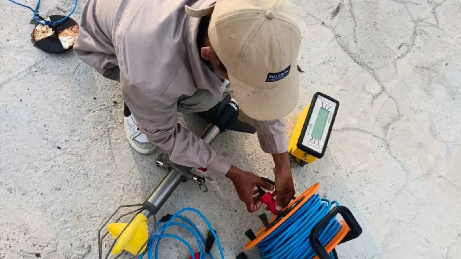
UAV photogrammetric, topographic, and hydro-oceanographic surveys supporting the site suitability assessment for jetty development in Laiara–Nikmat Mujur, Timor Leste.

Scope — UAV photogrammetry · Bathymetric survey · Site suitability assessment

Hydrodynamic and Sediment Transport Modeling for the Banyuwangi–Bali Submarine Cable EIA, PT PLN
2023Banyuwangi–Bali
PT Perusahaan Listrik Negara (PERSERO)

Hydrodynamic and Sediment Transport Modeling for the Banyuwangi–Bali Submarine Cable EIA, PT PLN

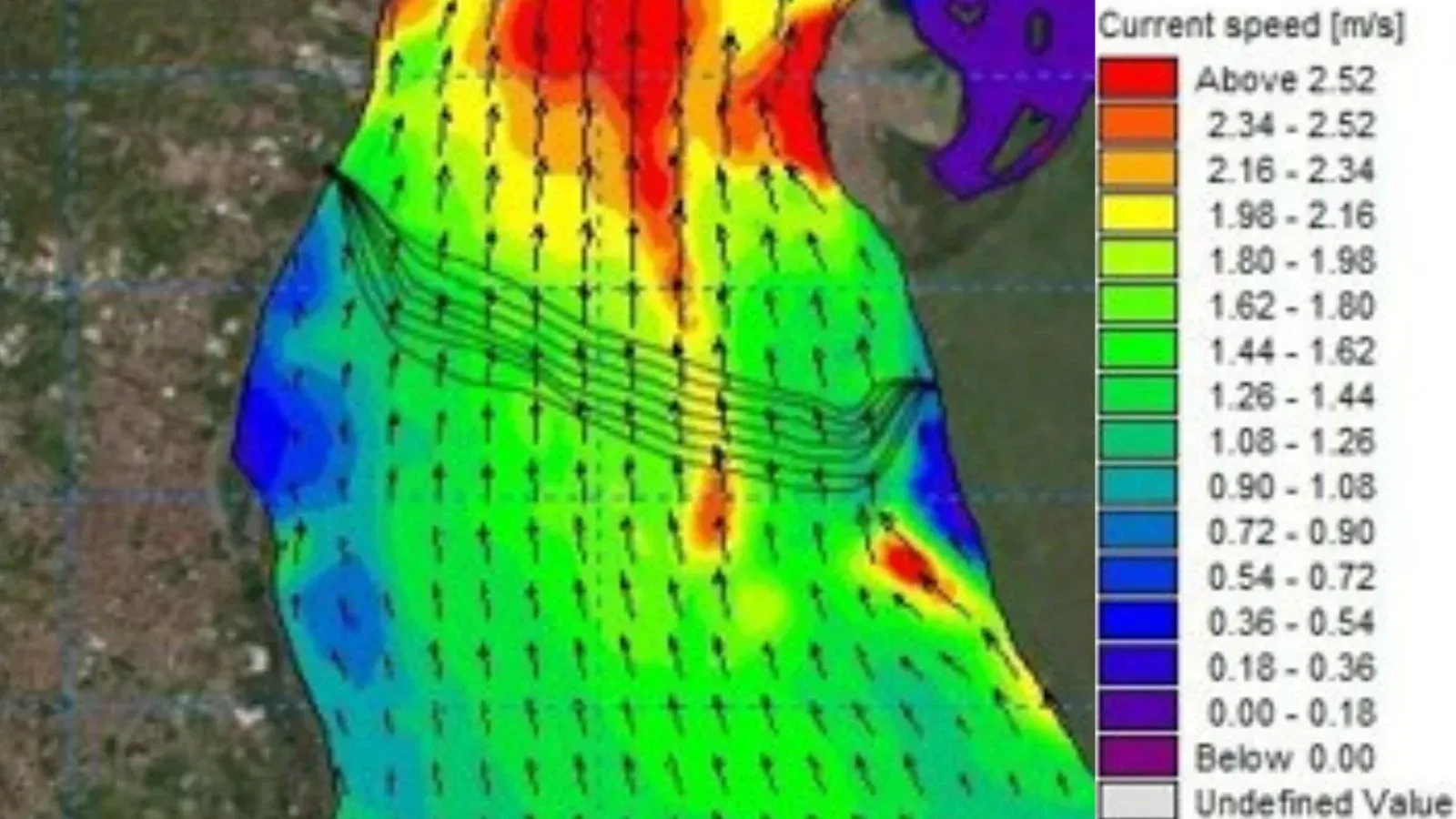
Hydrodynamic and sediment transport modeling to assess the environmental impacts of the proposed submarine power cable installation between Banyuwangi and Bali, supporting the Environmental Impact Assessment (EIA).

Scope — Hydrodynamic modeling · Sediment transport modeling · Environmental impact assessment

Hydrodynamic and Sediment Transport Modeling for the Tanjung Emas Port Master Plan (RIP), Semarang
2023Semarang, Central Java
PT Pelabuhan Indonesia (PERSERO)

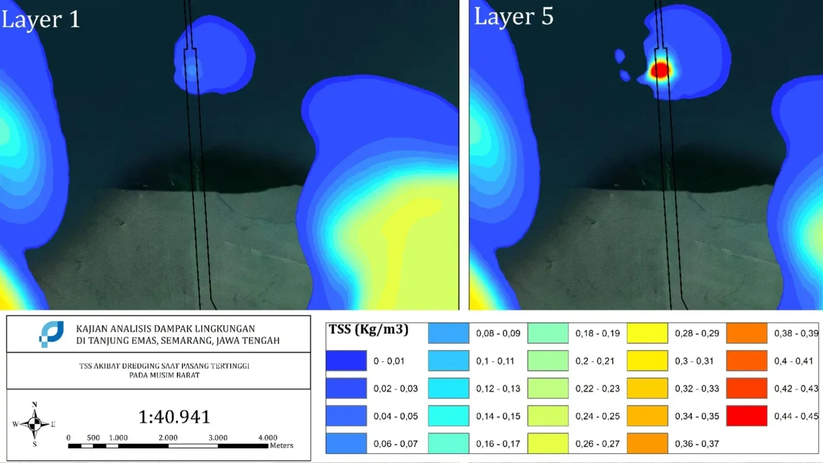
Hydrodynamic and Sediment Transport Modeling for the Tanjung Emas Port Master Plan (RIP), Semarang

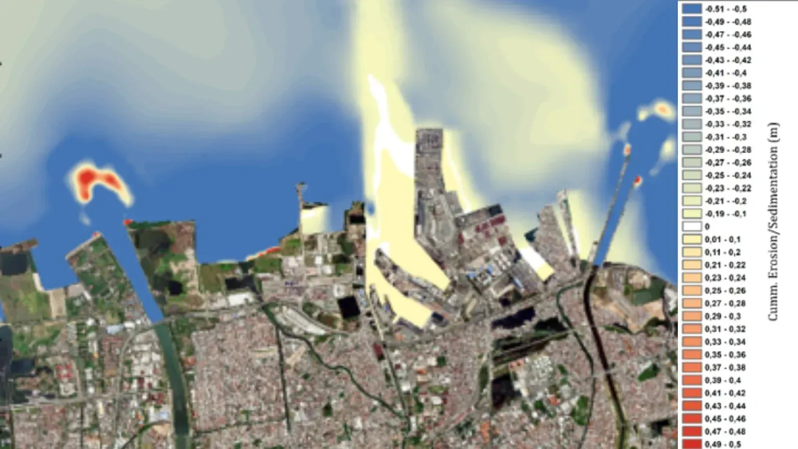
Numerical hydrodynamic and sediment transport modeling to support the Port Master Plan (RIP) by evaluating coastal processes, sediment dynamics, and marine conditions for sustainable port development at Tanjung Emas Port, Semarang.

Scope — Hydrodynamic modeling · Sediment transport modeling · Port planning support

Topographic and Hydro-Oceanographic Survey for Tanjung Emas and Kendal Ports
2024Semarang & Kendal, Central Java
PT Pelabuhan Indonesia (PERSERO)

Topographic and Hydro-Oceanographic Survey for Tanjung Emas and Kendal Ports

Integrated topographic and hydro-oceanographic surveys providing accurate geospatial and marine data to support port planning, engineering design, and coastal infrastructure development at Tanjung Emas Port and Kendal Port.

Scope — Topographic survey · Bathymetric survey · Hydro-oceanographic survey

Hydro-Oceanographic Modeling for the Tanjung Emas Port EIA (AMDAL) Addendum
2024Semarang, Central Java
PT Pelabuhan Indonesia (PERSERO)

Hydro-Oceanographic Modeling for the Tanjung Emas Port EIA (AMDAL) Addendum

Hydro-oceanographic numerical modeling to support the Environmental Impact Assessment (EIA/AMDAL) Addendum by evaluating marine conditions and coastal processes associated with the proposed port development at Tanjung Emas Port.

Scope — Hydrodynamic modeling · Wave modeling · Environmental impact assessment

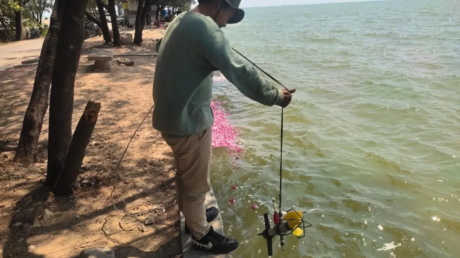
Navigation Channel Dredging and Disposal Area Modeling for PT Freeport Indonesia
2024Timika, Papua
PT Freeport Indonesia

Navigation Channel Dredging and Disposal Area Modeling for PT Freeport Indonesia

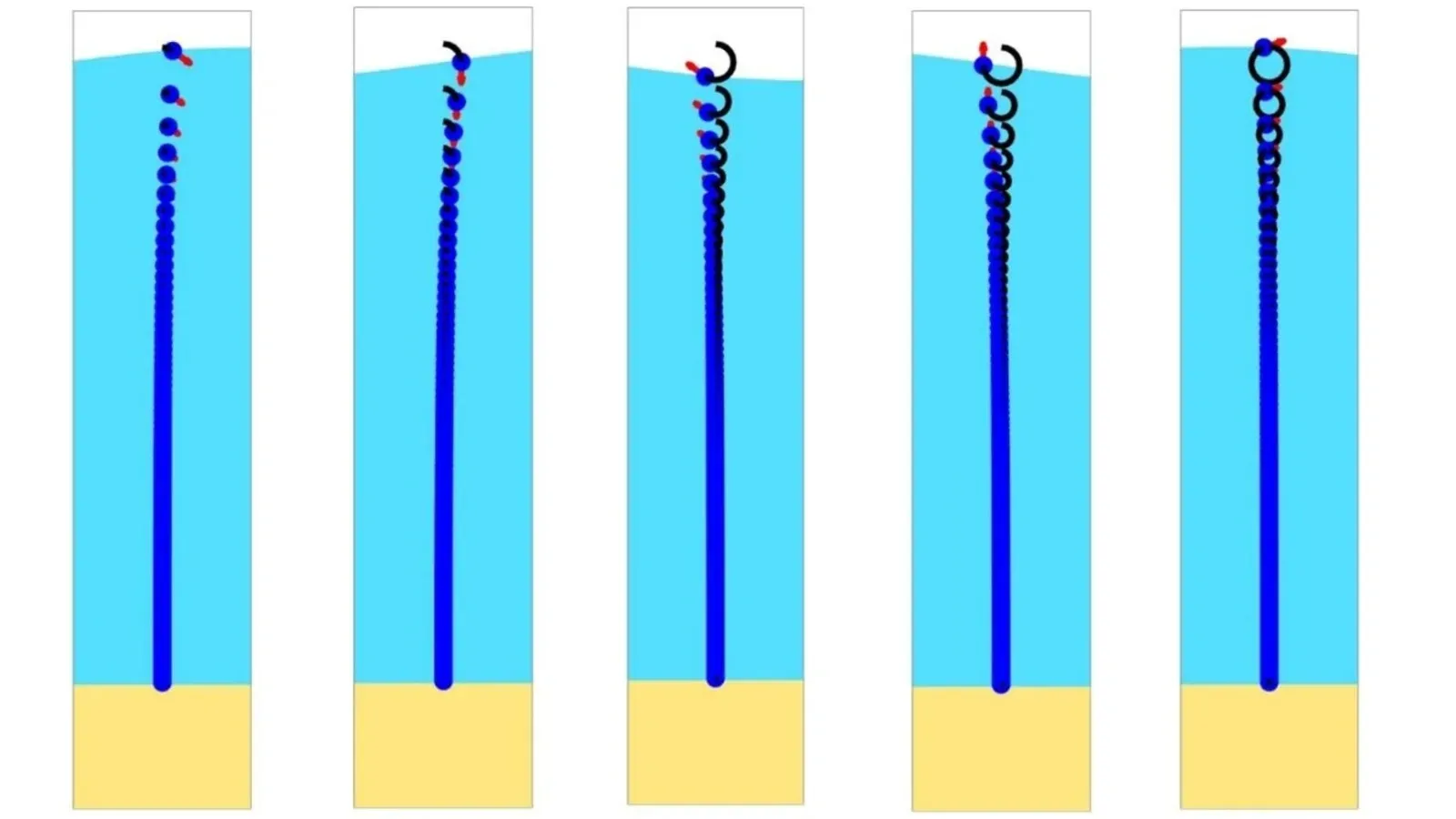
Numerical modeling of hydrodynamics, sediment transport, and dredging activities to evaluate the impacts of navigation channel dredging and offshore disposal operations, supporting marine engineering design and environmental management for PT Freeport Indonesia.

Scope — Hydrodynamic modeling · Sediment transport modeling · Dredging simulation

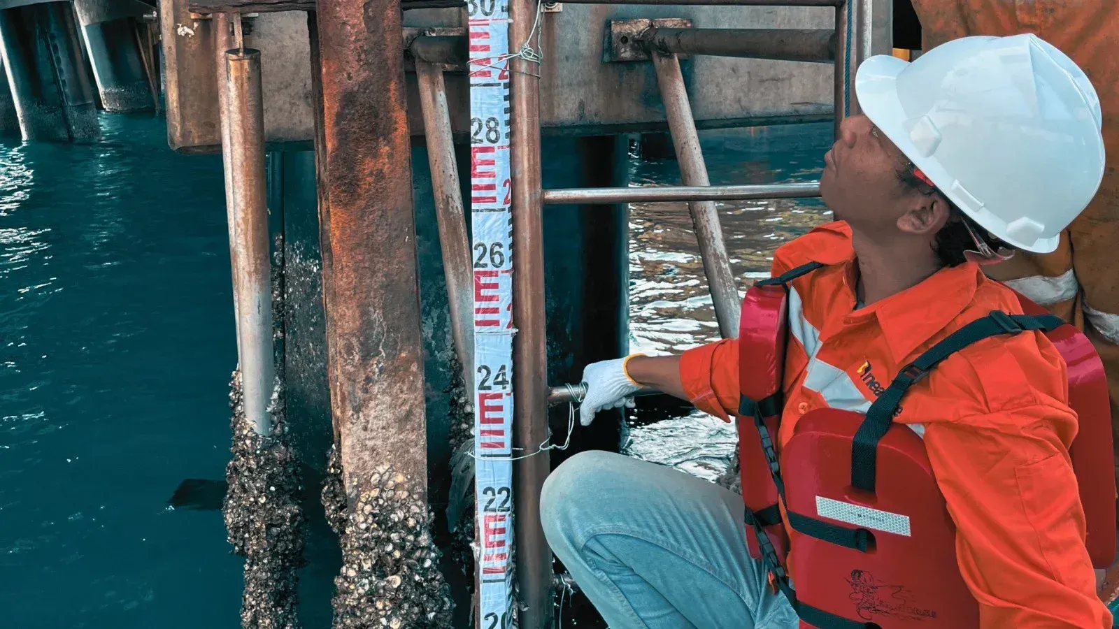
Multibeam Bathymetric Survey for the PT Paiton Operation & Maintenance Indonesia Jetty, Probolinggo
2025Probolinggo, East Java
PT Paiton Operation & Maintenance Indonesia

Multibeam Bathymetric Survey for the PT Paiton Operation & Maintenance Indonesia Jetty, Probolinggo

High-resolution multibeam bathymetric survey conducted to acquire accurate seabed morphology and underwater topography data, supporting jetty maintenance, navigation safety, and marine engineering activities at PT Paiton Operation & Maintenance Indonesia, Probolinggo.

Scope — Multibeam bathymetric survey · GNSS/INS positioning · Hydrographic data processing

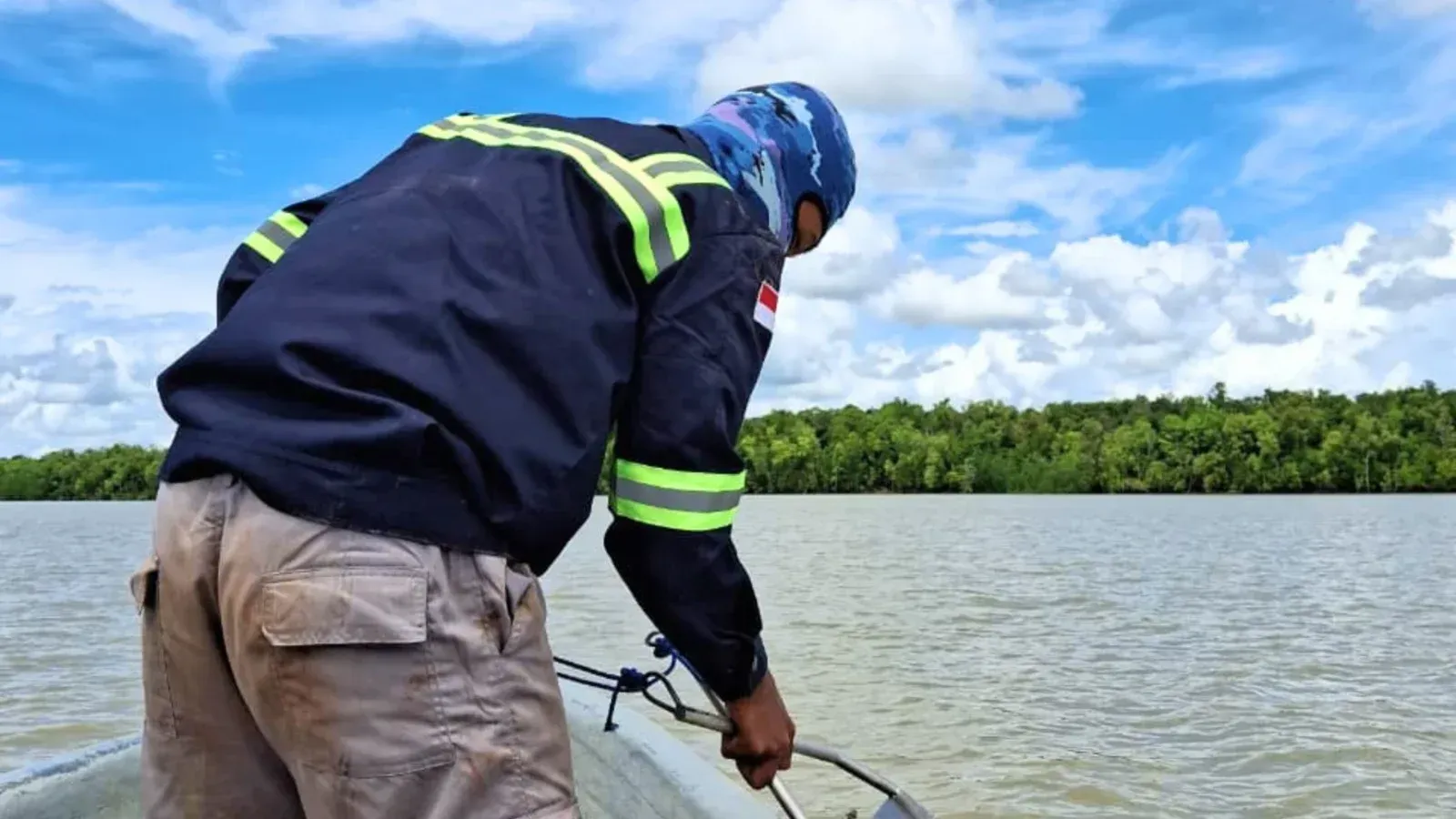
Bathymetric Survey, Navigation Channel Designation, and Hydro-Oceanographic & Sediment Transport Modeling for the Bian River, Merauke, Papua – PT Medcopapua Industri Lestari (MIL)
2025Merauke, South Papua
PT Medcopapua Industri Lestari (MIL)

Bathymetric Survey, Navigation Channel Designation, and Hydro-Oceanographic & Sediment Transport Modeling for the Bian River, Merauke, Papua – PT Medcopapua Industri Lestari (MIL)

Integrated hydrographic surveys and numerical modeling to support navigation channel designation, river engineering, and environmental assessment along the Bian River, Merauke, Papua, for PT Medcopapua Industri Lestari (MIL).

Scope — Bathymetric survey · Navigation channel designation · Hydrodynamic & sediment transport modeling

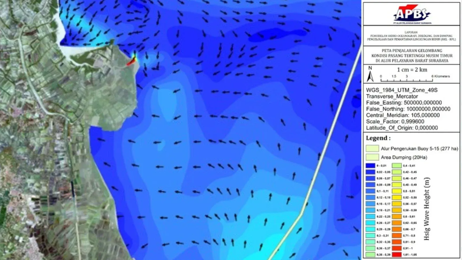
Hydrodynamic and Sediment Transport Modeling for the PT APBS Environmental Impact Assessment (EIA/AMDAL)
2025Indonesia
PT APBS

Hydrodynamic and Sediment Transport Modeling for the PT APBS Environmental Impact Assessment (EIA/AMDAL)

Numerical hydrodynamic and sediment transport modeling conducted to evaluate marine environmental conditions and support the Environmental Impact Assessment (EIA/AMDAL) for the proposed development by PT APBS.

Scope — Hydrodynamic modeling · Sediment transport modeling · Environmental impact assessment

Project log

All engagements.

YearFieldClientWork
2025Pemodelan HidrooseanografiPT Pelabuhan IndonesiaMarine Spatial Use Conformity (KKPRL)
PT Pelabuhan IndonesiaMarine Spatial Use Conformity (KKPRL)
PT Surabaya Terminal ServiceAMDAL for PT Surabaya Terminal Service, Surabaya, East Java
PT Ben SantosaAMDAL for PT Ben Santosa, Surabaya, East Java
PT Dok Pantai LamonganAMDAL for PT Dok Pantai Lamongan (DPL), Lamongan, East Java
PT Alur Pelayaran Barat SurabayaAMDAL for PT Alur Pelayaran Barat Surabaya
PT Berlian Nusantara ExprindoUKL-UPL for PT Berlian Nusantara Exprindo (BNE)
Survei HidrooseanografiPT Kutai Timber IndonesiaLog Pond Bathymetry, Probolinggo City, East Java
Balai Besar Wilayah Sungai (BBWS) CitarumBathymetry & Topography of Subang & Pondok Bali, West Java
PT Medcopapua Industri LestariBathymetry of the Bian River, Merauke, South Papua
PT Semen Indonesia (Persero) Tbk (SIG)Post-Dredging Bathymetry, Tuban, East Java
PT Pertamina Patra NiagaPre-Dredging Bathymetry, Gospier Jetty, Surabaya, East Java
PT Paiton Operation & Maintenance IndonesiaBathymetry of the PT Paiton Operation & Maintenance Indonesia Jetty, Probolinggo, East Java
PT Dok Pantai LamonganBathymetry of PT Dok Pantai Lamongan (DPL), Lamongan
2024Kesesuaian Kegiatan Pemanfaatan Ruang Laut (KKPRL)PT. Lamongan Integrated ShorebaseMarine Spatial Use Conformity (KKPRL)
PT. Bumi Lamongan SejatiMarine Spatial Use Conformity (KKPRL)
PT. Indonesia Marina ShipyardMarine Spatial Use Conformity (KKPRL)
PT. Starfood InternationalMarine Spatial Use Conformity (KKPRL)
Pemodelan HidrooseanografiPT. Semen Indonesia Group TubanHydro-oceanographic modeling for AMDAL Addendum
PT. Pelabuhan IndonesiaHydro-oceanographic modeling for AMDAL Addendum
PT. Wahyu Samudra IndahDetailed Engineering Design for the WSI Muaro Jambi Port Terminal Facility
PT. Pertamina Energi TerminalSite assessment study for the new terminal development in Likupang, North Minahasa, North Sulawesi
Pemerintah Kota SurabayaKenjeran Beach Recreation Park
PT. Freeport IndonesiaChannel Dredging and Dumping Area
PT. Solusi Bangun AndalasNon-Energy Seawater Utilization for PT SBA Lhoknga
PT. Pelabuhan IndonesiaTeluk Lamong Port
PT. Pelabuhan IndonesiaCelukan Bawang Port
PT. Pelabuhan IndonesiaGresik Port
PT. Pelabuhan IndonesiaLembar Port
PT. Pelabuhan IndonesiaPulau Baai Bengkulu Port
PT. Pelabuhan IndonesiaTanjung Intan Port
PT. Pelabuhan IndonesiaTeluk Bayur Port
PT. Pelabuhan IndonesiaTenau Kupang Port
PT. Karunia Alam SegarTechnical Approval
Survei HidrooseanografiPT. Berau Coal EnergyBerau River, Berau Regency, East Kalimantan
PT. Granting JayaEast Coast of Surabaya
PT. Pelabuhan IndonesiaTanjung Mas & Kendal Port
PT. Penajam Banua Taka PortPenajam Benua Taka Port
BBWS CitarumCipunagara River & Coast, Subang
2023Pemodelan HidrooseanografiPT. Pelabuhan IndonesiaHydrodynamic and sediment transport modeling for the Tanjung Mas Semarang Port Master Plan
PT. Pelabuhan IndonesiaHydrodynamic and sediment transport modeling for the Batang Integrated Industrial Area AMDAL
PT Semen Indonesia GroupHydrodynamic and sediment transport modeling for KKPRL at 6 PT Semen Indonesia Group sites
LPPM UBHydrodynamic and sediment transport modeling for the Banyuwangi-Bali submarine cable AMDAL
PT.Hydrodynamic and sediment transport modeling for the Kendari Industrial Area
PT. Solusi Bangun AndalasHydrodynamic and sediment transport modeling for KKPRL at 5 sites of PT Solusi Bangun Andalas and PT Solusi Bangun Indonesia
Survei HidrooseanografiPT. Pelabuhan IndonesiaSurvey and hydrodynamic and sediment transport modeling for Batang Port
PT ETO Timor LesteBathymetric and hydro-oceanographic survey for PT ETO Timor Leste
2022KepelabuhananPT Indonesia Asahan AluminiumReview of the Kuala Tanjung Port Master Plan

Have a project in mind?